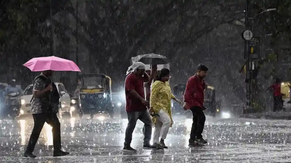
India’s monsoon rainfall deficit shrank from -40% in June to -15% by July 10, as intense downpours swept across the country despite El Niño’s expected weakening effect. The sudden surge, driven by two powerful weather systems, covered the entire nation by July 9, a day later than usual.
Heavy Rains Offset June’s Record Dry Spell
Central India, the monsoon’s core zone, recorded rainfall 137% above the long-period average from July 2–8. Mumbai received 873.1 mm against a normal of 212 mm, while Pune saw 415 mm compared to 69.5 mm. Madhya Maharashtra’s rainfall was 246% above average.
A low-pressure system over the Bay of Bengal intensified into a depression, moving northwest to Madhya Pradesh and Uttar Pradesh. Simultaneously, an offshore trough along the west coast triggered extreme rains in Konkan-Goa and Madhya Maharashtra.
Global Warming’s Growing Influence on Monsoon
Scientists note that such intense, short bursts of rain are increasingly common, regardless of El Niño. Dr. Raghu Murtugudde of IIT-Kanpur said global warming is altering circulation patterns, boosting the atmosphere’s moisture capacity and leading to more frequent heavy rainfall spells.
Dr. KJ Ramesh, former IMD director-general, attributed the recent downpours to normal monsoon variability, citing strong systems over the Bay of Bengal and Arabian Sea. However, he acknowledged that El Niño’s influence may grow as the monsoon enters a break period, increasing dry days.
El Niño Forecast Intensifies Through 2024
The US National Oceanic and Atmospheric Administration (NOAA) warns of an 81% chance of a very strong El Niño from October to December, ranking among the largest events since 1950. A weak El Niño formed in June and is expected to persist into early 2024, aligning with IMD’s forecast of below-normal monsoon rainfall.